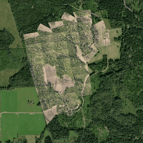
Truly Free, No Catch Our proprietary "Rapid Ortho" algorithm allows us to offer you a generous 300 hectares per month, completely free. It’s not a trial—it’s our commitment to giving you a powerful tool.
Incredibly Fast Processing Why wait hours or days? Upload your images and get a high-quality orthomosaic back in minutes. Get the data you need to make decisions, faster than ever before.
Simple, Intuitive Interface No complex manuals or steep learning curves. We designed the platform for forestry and land management professionals who need a tool that gets the job done without getting in the way.
Your high-quality orthomosaic is the perfect foundation for powerful, AI-driven insights. When you're ready, you can unlock tree counts, health analysis, damage assessments, and more.
You can explore all analysis features from right inside the platform.
Get your free 300 hectares. Every month.