
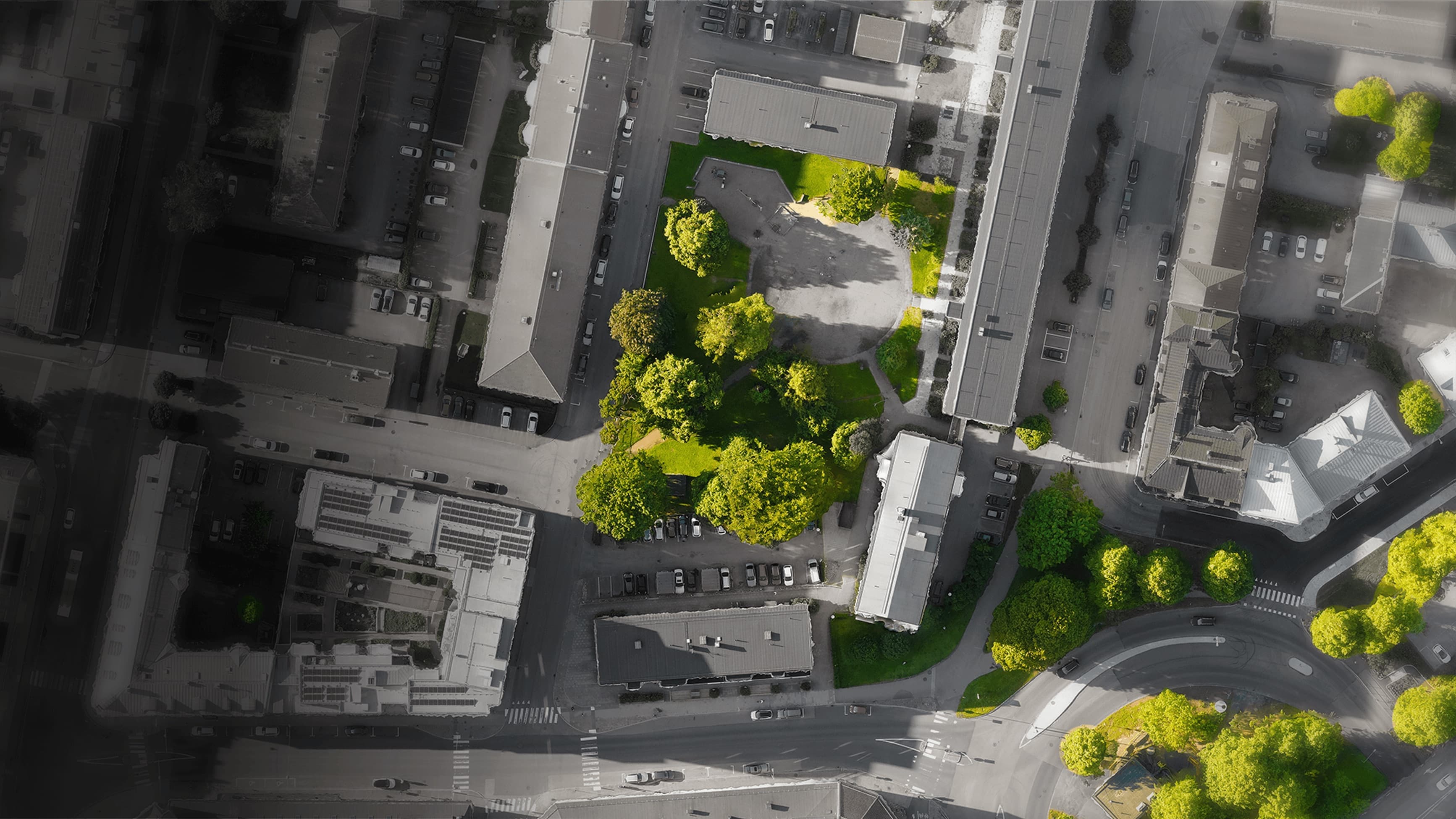
We open the door to smarter, greener and more sustainable cities
Get access to area statistics and key metrics, detailed information about every tree, and identify damage at branch level to enable targeted action and efficient tree care.
Why urban tree management is decisive
Urban tree management is essential to creating healthy and sustainable urban environments. Trees improve air quality, lower temperatures and promote biodiversity while combating climate change by absorbing carbon dioxide.
Effective management ensures that the city's forests are well maintained and strategically planned, reducing risks from pests and disease. Healthy trees also contribute to the city's aesthetic value and create inviting environments that encourage physical activity and community.
Investing in tree management also brings economic benefits by increasing property values, promoting tourism and reducing the cost of stormwater management.
In short, prioritising urban tree management contributes to better environmental health, greater social well-being and economic growth, creating greener and more resilient communities for both current and future generations.
Tree database
What is a tree database?
A city's tree database maps and records every tree in the city. It contains information on species, size, health and position.
This helps cities plan and maintain trees, track environmental change, budget for tree care, engage residents and measure progress towards targets such as 3-30-300 (3 trees per household, 30% canopy cover and no more than 300 metres to the nearest tree).
20x
faster data collection
60%
more accurate inventory
8x
greater cost efficiency
Our process
From aerial image to decision basis in four steps

1. Data collection
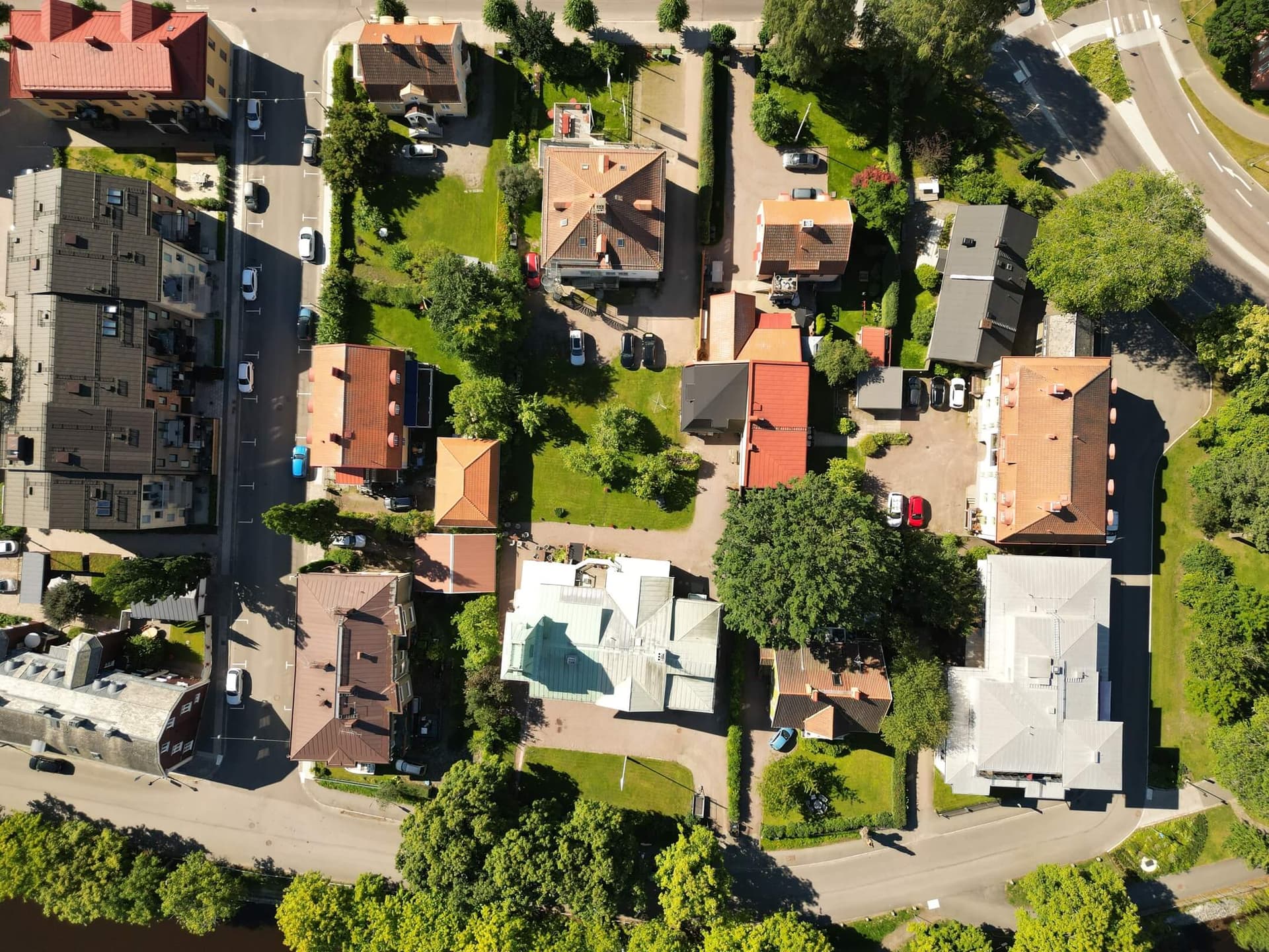
Before we run our analysis we carry out a new data capture to ensure the quality of the analysis. In some cases existing data can be used, provided it meets the required quality. Data is collected using drones, aircraft or satellite.

2. Data processing
We process the imagery and create updated orthophotos of the city along with elevation models. The data can also be used for 3D reconstruction and integrated into more processes across the organisation.

3. We analyse the data and map every tree
The imagery and elevation maps are analysed by our models to generate detailed information about each tree: height, crown size, diameter at breast height and species group. We also create a damage map identifying defective branches, standing and fallen deadwood and other types of tree damage.
4. Database and insights
The collected data is stored in a database that can be connected to your GIS system and management platform. If an existing tree inventory database is already in place, the data is imported and updates and extends it. The database can be updated directly in the field.
Want to know how your city can build a tree database?
Contact us about tree databases or how to reach the 3-30-300 target.